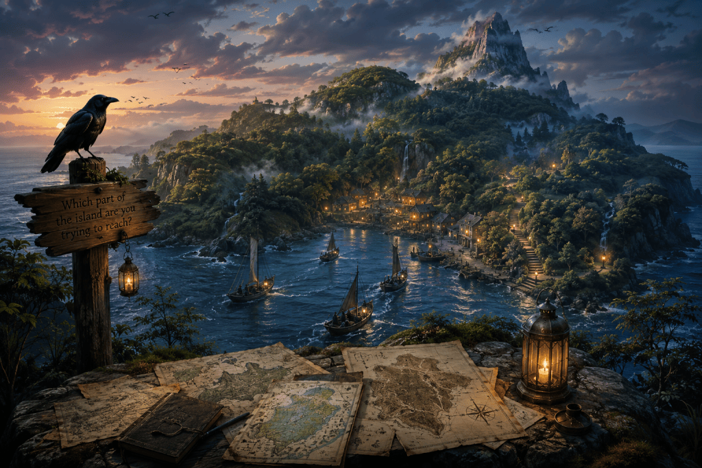
There was an island that appeared differently to every mapmaker.
This was not because the island moved.
The island remained where it had always been.
Its cliffs remained cliffs. Its forests remained forests. The small harbor remained sheltered from the prevailing winds. There was even an old stone stairway leading from the harbor toward a freshwater spring, and generations of travelers had agreed that the stairway contained exactly one hundred and twelve steps.
Yet every map disagreed about something.
On one map the island was enormous.
On another it was barely large enough to contain the harbor.
One map showed three forests.
Another showed none.
A particularly confident cartographer drew a mountain where the islanders insisted there had never been anything taller than a hill.
The cartographers argued.
The island did not.
Eventually someone suggested that the maps should be corrected.
So the islanders invited all the cartographers to stay for a season.
They measured the coastline.
They counted the trees.
They climbed the hills.
They sounded the water around the harbor.
They compared instruments.
They argued about instruments.
They produced increasingly elaborate maps.
At the end of the season, the maps were better.
They were also more different from one another than before.
This caused considerable distress.
Then, one evening, a child who had been watching the cartographers asked why everyone was trying so hard to make the maps agree.
Nobody answered immediately.
The oldest cartographer finally said:
“Because we thought the purpose of a map was to tell us what the island is.”
The child looked toward the water.
“What if,” she asked, “the purpose of a map is to help someone find somewhere they want to go?”
The cartographers stopped arguing.
Not because the question had solved anything.
It hadn’t.
The mountain remained on one map.
The three forests remained on another.
Someone’s coastline was still obviously wrong.
But the next morning, they began drawing a different kind of map.
These maps included places that had been overlooked because they were difficult to measure.
A sheltered cove where migrating birds sometimes rested.
A path that only became visible after rain.
A patch of moss that looked ordinary until someone knelt beside it.
A rock from which the horizon appeared unexpectedly wide.
They began marking not only where things were, but where something could be noticed.
Years later, travelers arrived carrying maps that none of the original cartographers recognized.
Some showed places that had not existed when the first maps were drawn.
Others omitted landmarks that had once seemed essential.
A few contained notes in unfamiliar handwriting.
The islanders welcomed them all.
When asked which map was correct, they usually pointed toward the harbor.
“Which part of the island are you trying to reach?” they asked.
Sometimes the traveler knew.
Sometimes they did not.
Sometimes they simply wanted to see what was there.
For those travelers, the island had an old custom.
They were given a small lantern.
No one explained what it was for.
Eventually most travelers discovered.
A lantern did not make the island smaller.
It did not make the map more accurate.
It simply allowed a little more of the familiar landscape to become visible.
And sometimes, when someone returned after many years away, the islanders noticed something peculiar.
The traveler would unfold an old map.
Then look up.
Then smile.
“It’s different,” they would say.
The islanders would ask:
“Did the island change?”
And sometimes the traveler would answer yes.
Sometimes no.
Sometimes they would simply lift the lantern a little higher.
No one had ever proved which answer was correct.


 We Are All Data Inside
Leave a comment